
Great Lakes Water Temperature and Weather Forecast
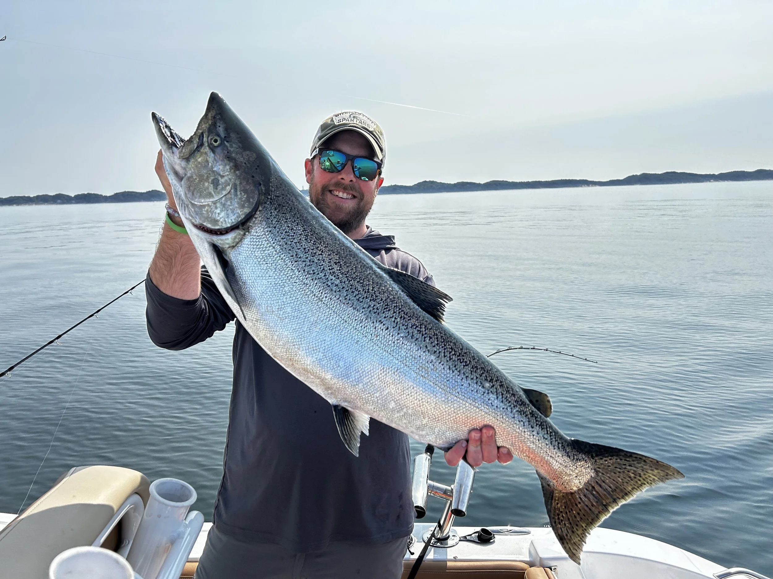
As someone who spends a lot of time on the Great Lakes in Boats. I pay close attention the the weather and accurate forecasts/current conditions are extremely important. Things are different “out there” and your average weather report doesn’t mean much on Lake Michigan. Other times I don’t just need to know the weather/waves but the actually water temperatures and currents. These are huge assets for having successful salmon trips and targeting the right water at the right times. Click on any of the underlined words and it will take you to that website and show you the forecast. Keep in mind these links are directed towards West Michigan so you may have to do some digging to find the information to your area.


Seagull - The Great Lakes Observing System Regional Association or GLOS has one of the most visually satisfying and easy to understand forecasts. Seagull has a map of the Great Lakes with easy to understand colors and arrows. You can select water temperature, wind speed, water current, or wave height as parameters. The results are easy to understand and it has many different data points from buoys around the Great Lakes. Just click on the green icons to see the buoy data. The one downfall with the buoys is that they don’t always show all the data. Sometimes it is best to pull up the web page for a particular buoy. This also allows you to see past data and predicted data for planning fishing trips. I use Seagull mostly for water temperature as it does a great job at showing “lake flips” and also pockets of warm or cold water scattered around Lake Michigan.
NOAA Marine Forecast - The standard of marine forecasting when it comes to wind and waves. The only downfall to this forecast is that it covers broad areas and does not account for everything that could potentially be protected. Local knowlege prevails there but it is really good for the open water. It also will spell out a small craft advisory right away. There are 2 versions of the open water forecast on Lake Michigan. It may be different on the other Great Lakes but here it is separated by nearshore (within 5 miles of shore) and offshore (5 miles to mid lake). As you can see in the Offshore Forecast it is separated by different zones of the lake. A Nearshore Forecast separates within a much smaller zone and is usually less severe than the offshore forecast.
NOAA Great Lakes Portal - We call this forecast the “point and click” forecast because you can actually select a particular spot on the map. An interactive map immediately shows up showing different colors for different wave heights and also any zones with small craft advisories. There is a lot of variability in the nearshore NOAA forecast between 5 miles out and right on the beach and this helps differentiate between the two. The general map on this forecast is very helpful too.
Sailflow - I use this forecast exclusively for wind. It gives a forecast in gusts and sustained wind. I always count on it being more like the gusts in the Great Lakes at least for the Lake Michigan side. If you don’t want any wind seeing a lot of colors on this chart is bad news but I do trust this wind forecast above all others. It pulls from a bunch of different models and I mostly just look at the blended model. This one is also convenient because there is a station right at the Muskegon Pier, so mostly use this particular station if I am around home. This will also put a forecast out for 10 days out but I caution you at looking too far ahead for wind forecasts on the Great Lakes. They change a lot and I only really start to believe them when I am a couple days away from when I hope to make a trip.
Real Time Observation Buoys - How nice is it that we can actually see real conditions before we head out there. It also takes all the guess work of just how big the waves are because we’ve all heard the stories of 8 foot waves when they were really just 2 footers. This buoys are really advantageos for knowing how the lake is calming down. I’ve fished on the backside of a big blow many times and the first thing I’m checking when I wake up that day is if the lake is calming down. No forecast can accurately tell you that but buoys deployed by NOAA and other agencies can. For Muskegon I’m always watching the Muskegon RECON Buoy and it does a great job at telling wind speed, wave height, and surface/bottom temperature plus a couple other things. Further south in Port Sheldon there is another buoy deployed by Limnotech with some really useful data for salmon fishing. It has a temperature string at various points throughout the water column so it allows you to see the temp break and adjust your trolling spread accordingly. As I mentioned earlier the Seagull site has a lot of buoy observations too. Buoy data does get tough in the wintertime as they are often pulled to prevent being destroyed by ice damage. Sometimes agencies are able to leave much lower cost and smaller “spotter buoys” out in hopes of keeping data flowing through the winter. These are extremely helpful for those of us that fish or duck hunt out there when it is cold.

I’m including a few more down below that can really be beneficial depending on what you are looking for. Coast Watch can be great for water clarity (used a lot on Lake St. Clair) but most of the observations within that site need sunny days since all the observations are made with satellites. A lot of the observations of these buoys, satellites, and weather stations go into our models that deliver forecasts on the Great Lakes. They have all been really important for safely planning trips out there but that doesn’t make me any less prepared for sudden changes in the weather.
Great Lakes Coastal Forecast System